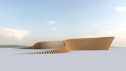
When it comes to landscape architecture and design, there is a powerful plugin for Rhino - Lands Design, a true game-changer. This tool allows us to create and manipulate landscape design projects of various scales. Among its many possibilities, not only does Lands Design in Rhino give us powerful terrain modeling tools, but it also supports smart objects for documentation, and offers other versatile tools.
In this tutorial we will dive into the powers of Lands Design in Rhino and discover its functionalities.
Creating Terrain with Lands Design
To create terrain with Lands Design in Rhino, we'll start off by creating a sub-plane. We will sculpt it to represent the ground we chose. Next, we will extrude the parts of the plane, adjust its edges and create the contours. These we will use to generate the terrain. In order to achieve this, we'll specify the cell size. Keep in mind that the smaller the cell size, the denser and more precise will the terrain be.

A feature we must explore is Add Path. It allows us to create paths with predefined widths and angles along our terrain. Furthermore, Lands Design generates the paths based on the selected curves, and thus saves time.

As I have noted earlier, Lands Design includes other terrain modeling tools, which allow us to model terrain from point clouds, elevation, curves and contours.
Building Forests and Customizing Plant Species
One of the amazing features is the Forest Tool. With it, we can populate the terrain with a vast array of plant species, which you can choose from an extensive database. Furthermore, the plant database containing both 2D and 3D characteristic, which is ideal for conceptual design.
By customizing the number of units and the minimum distance between them, we will create a realistic forest.

Plants Paint is a handy tool which we can use to populate the scene quickly with trees. Select the preferred species from the data base, and with a click and drag of the mouse, place the trees in random patterns.
Stick to the Ground feature always places the trees in the upright position, wherever you place them on the terrain.

Importing Real Earth Elevation Data
Another one of the amazing features of Lands Design in Rhino is the ability of importing real earth elevation data.
To clarify, you can select any location on Earth and import its terrain into the Rhino model. Not only is it possible to import the terrain, but also you can include whatever building existing in the location. This means that we can create very accurate 3D models of real-world locations. Obviously these serve perfectly as foundations of any landscape design project.

Final Thoughts
To sum it up, Lands Design in Rhino offers a wide range of tools and features that can enhance landscape architecture projects. You can elevate your designs with powerful and user-friendly tools. Whether you're looking to create a variety of vegetation, or build a stunning cityscape, Lands Design is definitely going to help in bringing your vision to life.
Grasshopper Complete Course
Give your architectural skills a boost with the Grasshopper Complete Course. Get over 50 hours of comprehensive Grasshopper training tailored for architects. Learn to generate and iterate designs faster. Click below for more information and streamline your workflows!